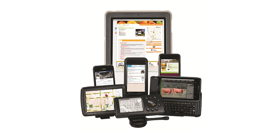
Maps & Apps workshop helps Ohio food producers put their businesses on the map, a mobile map that is. Through the Maps & Apps workshop, producers have the opportunity to learn how to improve their market share, grow their customer base, increase profitability, and boost their visibility, leveraging mobile media marketing in their area. Maps & Apps show’s producers why they would benefit from free listings on Internet maps, GPS systems, and mobile applications, improving their visibility, “findability,” and interaction.
The goal of Maps & Apps is to prepare food and agricultural entrepreneurs to improve their marketing practices, market access, and on-line brand through mobile media marketing. Participants get a hands-on experience integrating maps, apps and mobile media marketing into marketing plans and practices, and learning how to tap into mobile media marketing resources that make sense for their specific business goals.
With funding from the North Central Risk Management Education Center, the OSU Extension Direct Marketing Team piloted the Maps & Apps program in 2012-2013, presenting six conference seminars, hands-on workshops, and online education for 350 entrepreneurs from all areas of Ohio. The final curriculum is currently being updated to reflect participant evaluations, with the Maps & Apps program being uploaded to the National Ag Risk & Farm Management Library www.agrisk.umn.edu/ at the end of 2013 for others to use in their states.
If you would like additional information on Maps & Apps, Please contact
Robert Leeds
Extension Educator CED, Delaware County
Ohio State University Extension
149 N Sandusky St, Delaware , OH 43015
740-833-2030 Office
leeds.2@osu.edu osu.edu
Julie Moose, moose.14@osu.edu
740-289-2071, ext. 223
Ohio Marketing Connections
http://directmarketing.osu.edu/